NDS offers a set of online and offline tools that cover multiple areas of application – starting with defining the standard up till analyzing and transforming NDS maps. Extension mechanisms allow customization and support of a variety of use cases. Most NDS tools are compatible with the three major desktop platforms (Windows, macOS, Linux), and therefore give its user freedom of choice.
Services for distributed collaboration, regular online meetings, a dedicated support team, and the community event ”NDS Tooling Days” that was established last year allow people to get in touch, learn and contribute.
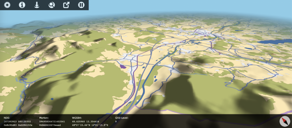
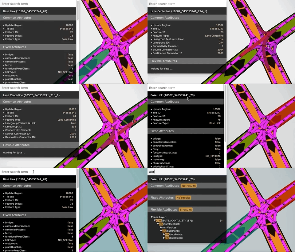
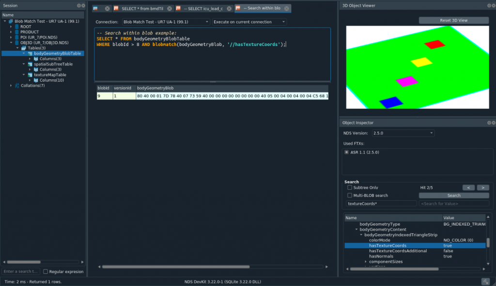
The DatabaseInspector is a tool designed to inspect SQLite databases with a special focus on Navigation Data Standard. It allows inspecting both the database structure and the actual data and it is able to reveal content of optimized binary NDS blobs. The 3D MapViewer visualizes NDS databases and allows inspection of individual features. A plugin-based architecture allows users to define their own extensions.

DBI-Shell is a headless variant of the DatabaseInspector that is ready to be used in automated tool pipelines to automize analysis, transformation and export of data.
MapViewer Online is a configurable server that is provided as Docker image and allows users to inspect NDS maps just from within their browser.


RDS (relational data script) is the language that is used to describe the NDS format. Corresponding tools allow the generation of APIs as well as HTML documentation. Supported target languages are C++, Java and Python. In 2018, the NDS Association has decided to make RDS available to the public under the name zserio and continue its development using GitHub.
The SQLite reference engine can be used as a base to access and modify NDS databases. It uses the open-source version of SQLite as base (reliable and robust due to 100% branch test coverage). Multiple compression and encryption features are added on top to support efficient and secure real-world usage.
This is a command-line tool and a GUI program which is able to convert between OpenDRIVE (XML based) and NDS map data formats.
Development of both the map format as well as of the provided tools is done continuously and within a community of potential contributors from around the world. The NDS Association has set up a variety of online services that facilitate this kind of development approach.
