As maps developed over time, we have slowly adapted a consistent visual vocabulary that ensures we are able to understand maps across language and cultural barriers. Even when maps from different authors differ slightly in design, we are instantly able to understand them. We recognize whether a road is a motorway or a minor side street, and we can distinguish features like buildings, fields, and rivers.
And now, as we move into the era of automated driving, map data needs to be read not only by humans, but by machines also. Formatting map data for each of the many automotive systems is a possible but high cost approach. How can we make sure that map and sensor data from different data providers can be used by the variety of in-car systems from a plethora of suppliers?
In a nutshell, this is what NDS does: NDS is the worldwide standard for map data in automotive eco-systems. The NDS standard helps to reduce development costs significantly through the interoperability of data and software. The same NDS map database can serve multiple different infotainment systems. Using NDS also allows automotive OEMs and navigation system vendors to source map data from the best map data vendors for selected countries. Using the same NDS map specification across vendors ensures the different maps and the navigation software work perfectly together.
The NDS association has defined clusters of map data. NDS calls these clusters NDS Building Blocks, supporting the different use cases. The ones that are relevant for highly automated driving are the Routing Building Block (which we essentially know from ordinary maps), complemented by the Lane Building Block, the Localization Landmark Building Block, and the Obstacles Building Block.
The Lane Building Block includes more precise information about the road itself: number of lanes, their association to each other, lane width, lane-level rules, and type and color of road markings, just to name a few. All this helps the car to determine its exact position in relation to the width of the road.
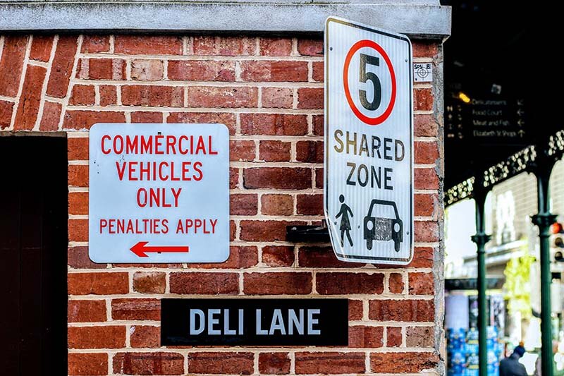
Localization Landmarks are, essentially, everything road-related that stands out from the surface. This includes road signs, gantries, poles and pillars, tunnel entrances, crash barriers, etc. Obstacles are generic, stationary objects along the road, for example guardrails, walls, fences, or small hills nearby. Combined with feedback from the car’s on-board sensors, this information allows for a more precise positioning of the vehicle in relation to the length of the road.
Compared to proprietary map data formats, NDS offers a unique openness. The standard is jointly developed by carmakers, systems developers and map data providers and can therefore reflect market needs better than any other. It supports highly dynamic data to be referenced to the road topology and allows for high-definition (HD) maps to be updated by sensor data to provide a near real-time map of a vehicle’s surroundings.
In-car sensors detect and measure the immediate surroundings of the car. Their data can be processed in the vehicle for immediate insights analysis and also shared with other vehicles. If enough data is collected, it can even be used to enhance maps with detailed, up-to-date information.
Some carmakers believe they can rely solely on the sensor data from their own vehicle fleet to update maps for automated driving. But what happens in regions where their fleet is too small to provide that critical mass of information?
Other automotive OEMs don’t even use map data for automated driving systems, claiming that in-car sensor data is sufficient. But what if the sensors provide false information, for example in challenging conditions such as rain or glistening sunlight?
High-definition map data adds an extra layer of safety to automated and autonomous driving systems. Through map data, Advanced Driver Assistance Systems (ADAS) are able to cross-reference sensor data with map data, or to follow the many rules in traffic that are not sign-posted. Take speed limits for example: In France, the general speed limit on motorways is 130km/h – except when it rains, then it automatically becomes 110km/h. In this case, an automated driving system needs two sources of information: A map to know that the vehicle is on the motorway in France, and sensors to know if it’s raining or not.
A truly autonomous car needs its map data just as much as it needs its sensors. Ideally, map and sensor data go hand in hand: Maps are used for positioning and to verify sensor information, and sensors in turn provide periphery information and can help keep maps up to date.
Therefore, maps and sensors need to find a common language. This is why NDS is an active member of the Open AutoDrive Forum, a platform to push standardization for autonomous driving across domain borders. Together with SENSORIS (Sensor Interface Specification), a standardized interface to exchange information between in-vehicle sensors and the cloud, TISA (Traveller Information Services Association) for traffic data, ADASIS (Advanced Driver Assistance Systems Interface Specification) for sharing data between ADAS/automated driving systems and navigation, and SIP-adus, the Japanese cross-ministerial strategic innovation promotion program for automated driving, they make sure that nothing stands in the way of information flowing between maps, sensors, other sources and automated driving systems.
Back to news →