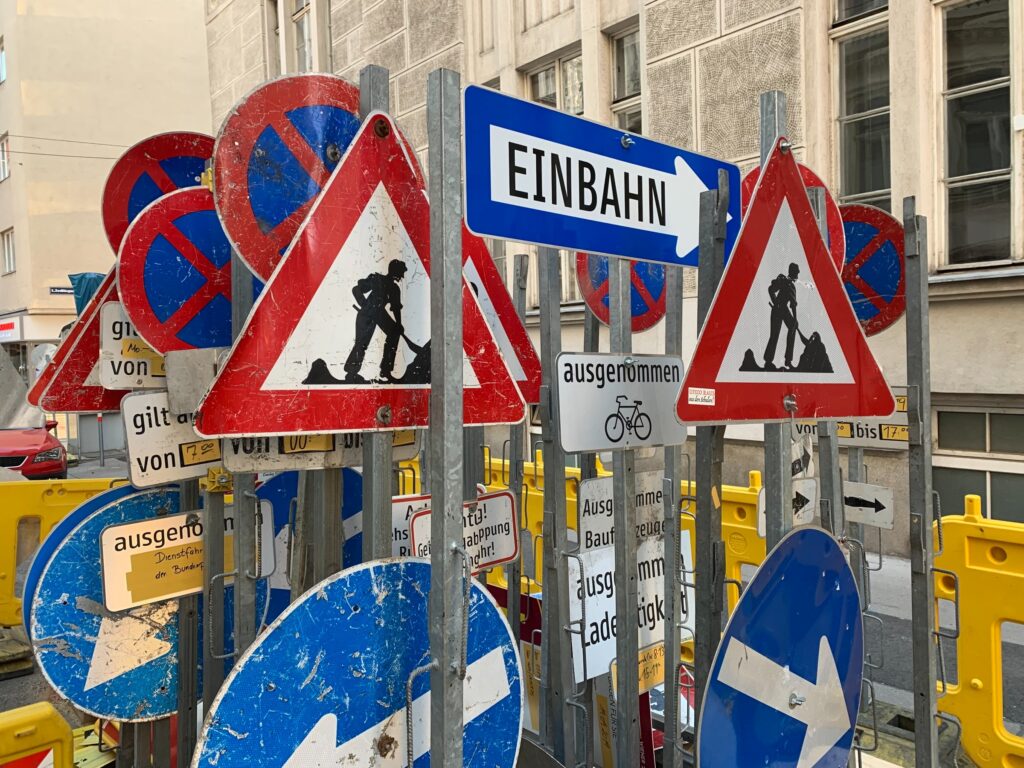
The road can be a real jungle of signs sometimes. And even with traffic sign recognition systems getting more and more intelligent, there are still a lot of signs needing interpretations that in-car systems cannot fulfil. The most reliable way to bring traffic sign information into the car, therefore, is through map data. And who has a better knowledge of the signs out there than those who put them up: Road authorities? With TN-ITS, public authorities and map providers have a joint standard to freely and easily share this information.

TN-ITS (Transport Network – Intelligent Transport Systems) is a European platform for the exchange of information on changes in static road attributes. These attributes are more or less permanent features, such as road signs and speed limits. This information is critical for intelligent transportation systems (ITS) as well as driver assistance systems to ensure safety and efficiency. However, capturing all real world changes is a major challenge for map providers. TN-ITS brings map providers and public authorities together so they can share static road data and ensure a seamless data chain. And the key to a seamless data transfer is standardization.
The idea is simple: Road authorities from different countries and regions publish changes in road data. Since they create the changes, they are the most efficient and immediate source for such information. Map providers retrieve this data, verify it, and integrate it into their databases. Drivers and end users then have access to up-to-date map data in their in-vehicle systems, navigation devices and smartphones. TN-ITS fosters and facilitates this exchange.
In order for this data exchange to work, authorities need to have a digital system in place where the data is stored and maintained, and changes can be flagged. While systems like this are increasingly available, the multitude of solutions vary in terms of data models and format. A standardized format is essential.
The TN-ITS Association is playing a key role in the standardization process for sharing ITS data and also provides reference cases, tools and support for the implementation of the TN-ITS framework for public authorities and map makers. As a fellow member of the Open AutoDrive Forum, TN-ITS is dedicated to open standards for the exchange of data.

TN-ITS evolved from several EU-funded projects in 2013. The idea was to create a data chain for updates of critical map attributes that focuses on changes in the data rather than a full data set. TN-ITS is still supported by the European Commission. Members include public authorities from Sweden, Belgium, Norway, Ireland, Finland and the UK as well as map makers TomTom and HERE. The platform is coordinated by ERTICO and has formed different working groups to make progress in the fields of location referencing, specification and standardization, implementation support, and tools.
Right now, TN-ITS is working on adding new features and attributes to the databases in relation to autonomous driving. In the future, the platform will gather information on lane geometry, typology, road furniture, and access permissions and restrictions. The next step will be aligning the data specification with other standardization platforms like Datex, TISA, and other the Open AutoDrive Forum member specifications.
Back to news →